Photographing Plutonium’s Invisible Legacy

The words “nuclear legacy” conjure up visions of distant mushroom clouds ballooning over bodies of water, deserts, or cities. These images proliferated in media from the 1940s through the 1980s—an era when nuclear technology supposedly demonstrated military and scientific superiority. Absent from these pictures is the long-range ecological and biophysical impact that nuclear armament has had on landscapes and communities where this technology was developed and deployed.
Hanford is 586 square miles of shrub-steppe grassland in southeastern Washington State. This site has been under government control since it was chosen for plutonium production during World War II. Close proximity to the fast, cold Columbia river and isolation from heavily populated areas made Hanford the ideal location for discrete and expedient weapons production. The facilities continued operation until 1987, after which Hanford began an internal transformation by demolishing structures, cleaning polluted landscapes, and consolidating waste. This process is still very much underway today, but the scale and isolation of operations at Hanford has meant there are few obvious traces for passersby of the past, present, and future state of the site.
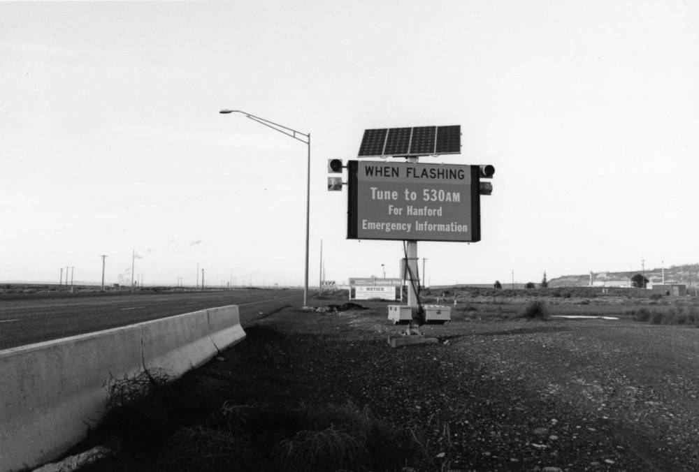
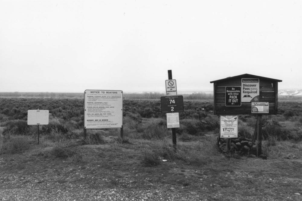
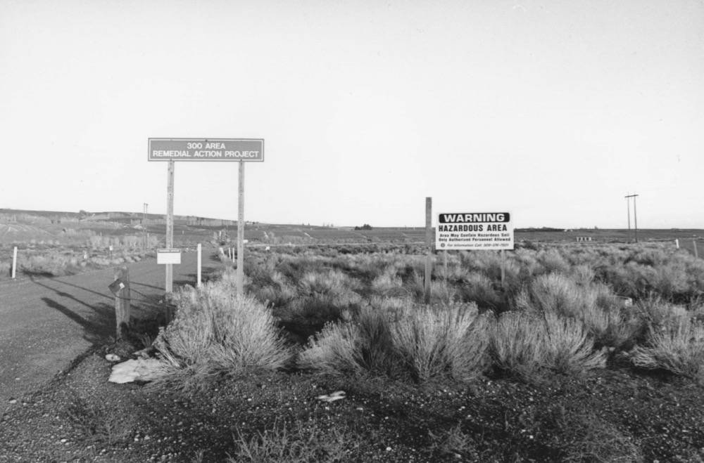
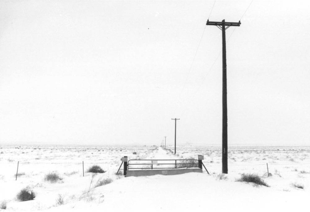
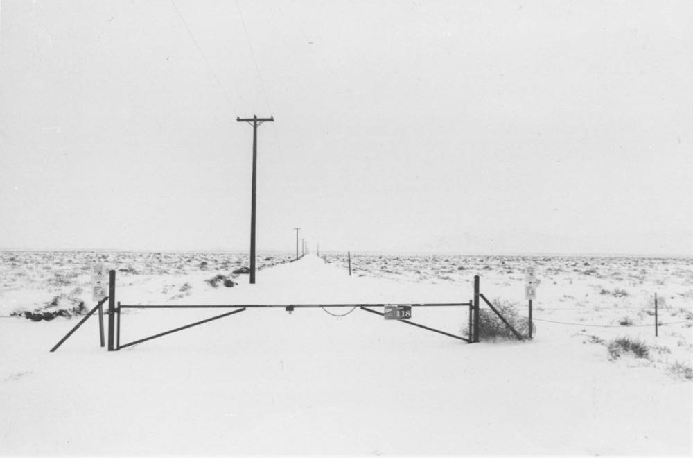
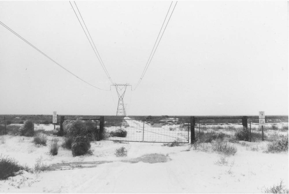
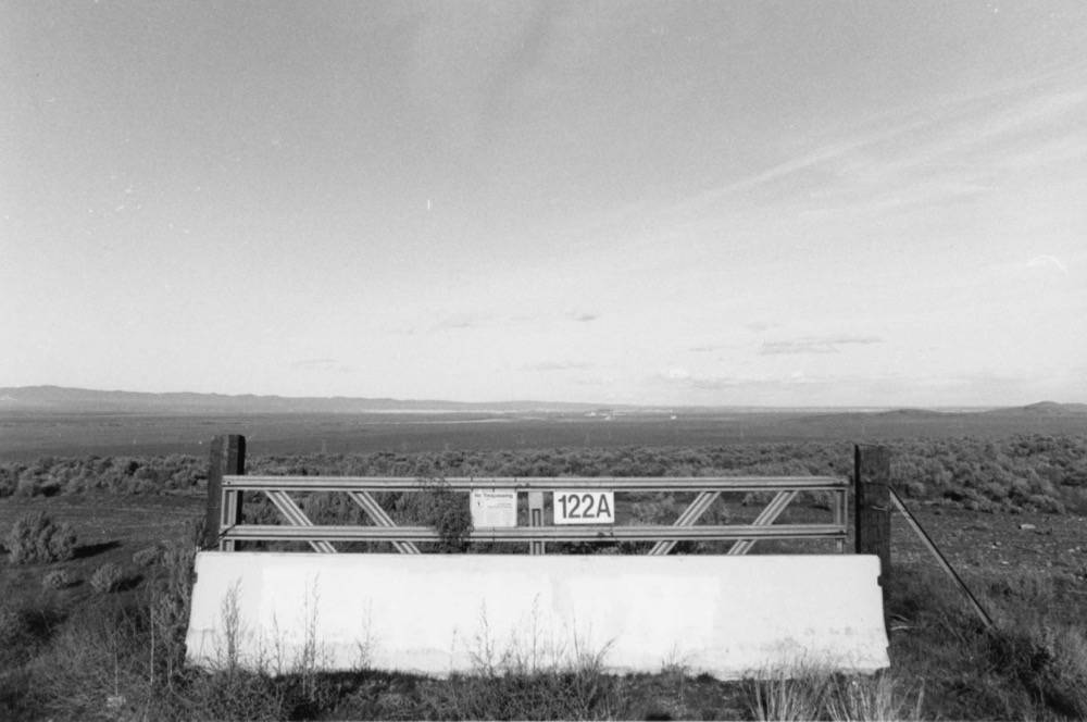
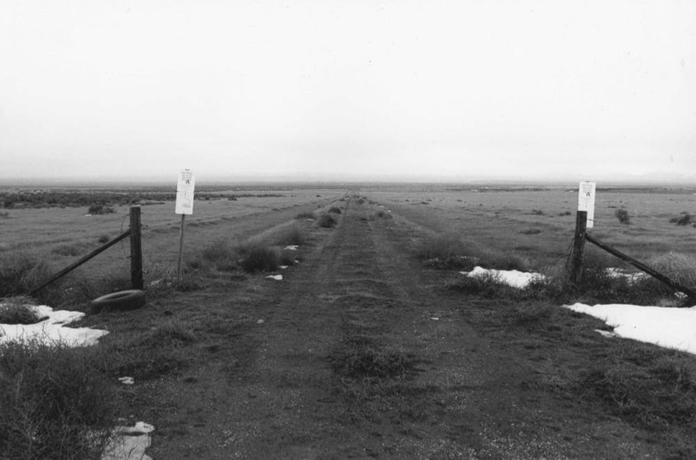
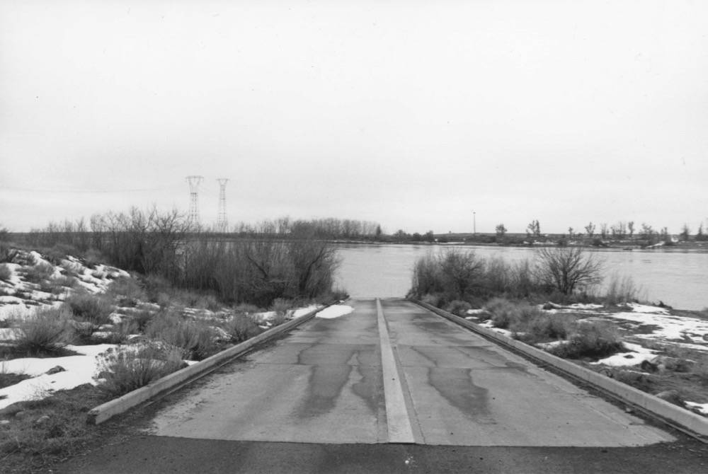
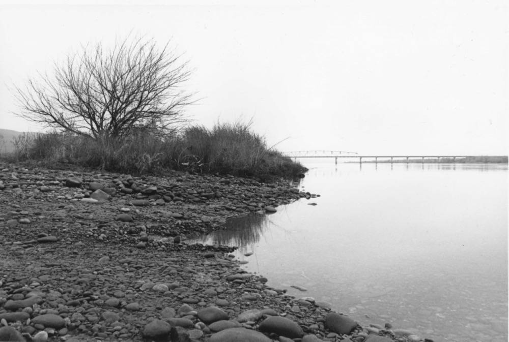
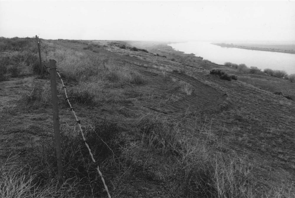
As an artist and landscape designer, I am interested in the language of landscapes: how they are read, what about them is communicated, and what they say for themselves. In this series of photographs, I investigate the boundaries surrounding Hanford and the movement they attempt to dictate. Access to the site is highly variable. In some places roads are restricted by armed guards, while in others, a single barbed wire fence delineates the Hanford property line. Signage regarding access to the waterways both invites and cautions, and signs indicating the presence of sensitive species distract from the site’s toxic legacy. Some public tours occur, but only in highly choreographed and controlled situations.
There is evidence across Hanford that these barriers are breached by both human and non-human actors, reminding us that the demarcation of “on-site” and “off-site” is both finite and arbitrary. Countless amounts of irradiated material have drifted beyond the site over the decades through encounters with plants, animals, and workers, despite attempts by the Department of Energy to restrict migration of dangerous particles. In effect, such failed attempts at control and confinement reflect the Sisyphean feat still underway to remove, clean, and contain on-site nuclear by-products.
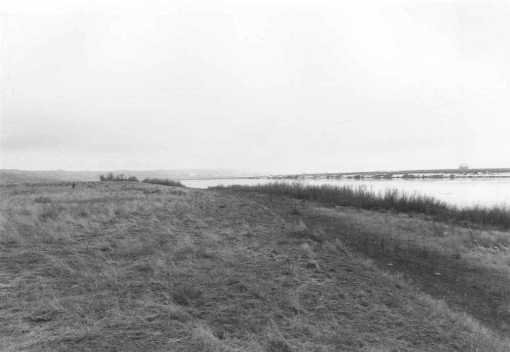
Hanford continues to have an unfathomable impact on the immediate landscape and beyond, one that remains difficult to comprehend because it is shrouded by distance from those viewing it. The remaining facilities and operations are dwarfed by their place in the landscape—a visual reversal of the impact that weapons production has had on-site and beyond. While it is easy for Hanford to drift into the distance, obscured and softened, its impression upon the landscape is pervasive and will continue at a geologic pace whether a collective legacy acknowledges it or not.
Click images below to enlarge.
All photographs by Kasia Keeley, 2017.
Featured image: Boundary 122A – Spring, 2017, 35mm black and white photograph by Kasia Keeley.
Kasia Keeley is a landscape designer and artist working within photography, printmaking, and book arts to study the convergence of temporality, landscape, identity, and waste. Her interest in Hanford, Washington began as part of a collaborative thesis with Andrew Prindle for her master’s degree in Landscape Architecture at the University of Washington. She continues to study the impact of nuclear and waste landscapes across the United States and Northern Europe through her photography and design work. Keeley’s photographs were first featured on Edge Effects in the 2018 “Working at the Edge” Photo Contest. Website. Twitter. Instagram.

